
Cruise port
Seyðisfjörður
Two hikes from Seyðisfjörður: Fossastígur and Fjallkonustígur, with route lengths, walking times and season, plus walks around town.
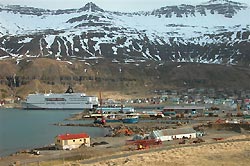
Photo: Erik Christensen / Wikipedia und public licence
Hiking from Seyðisfjörður
For a shore visit to Seyðisfjörður, there are two very different hikes to choose from. The Fossastígur starts in the town center and follows a path that is partly gravel and partly grass through a wooded section toward Fjarðarsel and the waterfalls of the Fjarðará River. Visit Austurland lists two options, ranging from two to four kilometers and taking around two and a half to four hours; the stated season runs from June to September. This makes the hike a manageable way to experience nature right from town.
A longer route through Vestdalur
The Fjallkonustígur leads from Seyðisfjörður into the Vestdalur Nature Reserve, continuing to Lake Vestdalsvatn and the cave of the “Mountain Maiden.” The route was once an important link between Seyðisfjörður and other parts of East Iceland; surviving trail structures and stone markers recall its former use. The route is listed as six kilometers and around three and a half hours, also with a season from June to September. Compared with the Fossastígur, this is a longer outing with a destination farther uphill.
A nature trail or a stroll around town
Those planning a shorter or less strenuous time ashore can stay in town for a walk. Seyðisfjörður’s Rainbow Street and the blue Seyðisfjarðarkirkja church are well-known local sights; the sound sculpture Tvísöngur also brings art and landscape together. Visit Austurland describes the Fossastígur as an easy walk starting in the town center. The greater distance and stated walking time for the Fjallkonustígur suggest allowing more time for that hike.
Choosing a route based on available time
The Fossastígur is listed as the shorter route, but at two and a half to four hours, it is not necessarily the quicker option. If you have little time ashore, a stroll around town is an alternative. Weather and trail conditions can affect plans for the day.
On a trip with other ports in Iceland, Reykjavík offers an urban focus; Hafnarfjörður is a port town in its own right, south of the capital.
Seyðisfjörður: Port and town
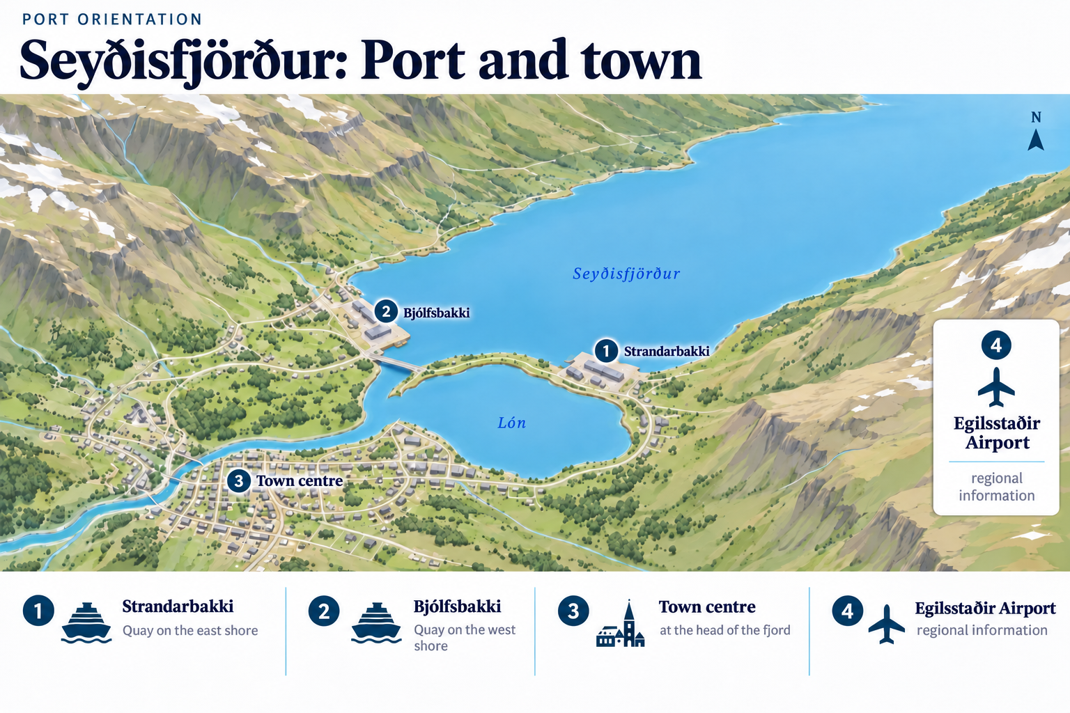 Enlarge map ↗

