
Cruise port
Mannheim on the Rhine: Rhine Quay and the History of a Harbour City
Mannheim: the passenger-ship area at the Rhine Quay designated in 2023, the origins of the city of squares, and the history of the Rhine harbour.
The Rhine Quay for Passenger Ships
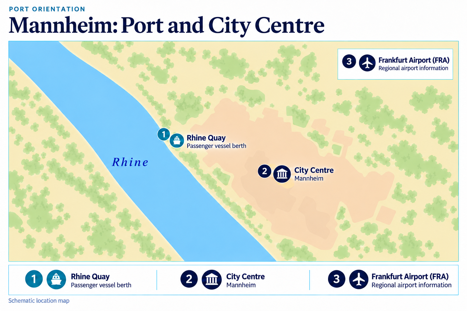
The Rhine Quay is the designated landing area for passenger ships in Mannheim. A notice from the State Port Authority dated 12 December 2023 lists berths between Rhine kilometres 424.700 and 425.060. This stretch, identified by river kilometre, locates the passenger quay along Mannheim’s Rhine waterfront.
How Mannheim Became a Planned City
Mannheim’s location at the confluence of the Rhine and Neckar provided the strategic setting for the city’s founding. At the beginning of the 17th century, Elector Frederick IV planned a fortress and a city as a single, integrated complex. The foundation stone was laid on 17 March 1606, and Mannheim received its privileges in 1607. Barthel Janson designed the planned city’s rectangular street grid, which gave rise to the Mannheim squares. These squares give the city centre its clearly structured layout and illustrate the city’s systematic design. The village of Mannheim, which is thought to have originated in the first half of the 6th century, once stood on today’s Palace Square. Around 1440, it had about 500 residents and was one of the larger villages in the Electoral Palatinate. When building the fortress and city, Frederick IV offered residents exchanges for their homes and compensation for their land. Many eventually moved to the new city; a few years later, during the Thirty Years’ War, the fortress and city were almost completely destroyed.
From Free Port to Multiple Harbour Basins
In the 19th century, Rhine shipping grew in importance relative to Neckar shipping, which had previously been more significant. The duty-favoured free port, established in 1828, began with a simple landing stage below the ship bridge, consisting of linked boats and a walkway. The first harbour basin, with an entrance from the Rhine, opened in 1840. The Hôtel de l’Europe stood at the head of the harbour, welcoming Rhine tourists arriving by steamboat. The harbour area was both a working-class district and a prestigious address. The Mühlau Harbour and the connecting canal were built in the final third of the 19th century; around 1900, the industrial harbour was created in the bends of the Old Neckar and Old Rhine.
Other Destinations on the Rhine
For comparison with other stops along the Rhine, see the harbour profiles for Linz am Rhein, Königswinter and Xanten. These towns offer further distinctive shore-excursion destinations along the river.
Mannheim: Port and City Centre
 Enlarge map ↗

