
Destinations | Cruise ships | Ports for your cruise | Cruise lines | Cruise Tips | Cruise Photos | Cruise News
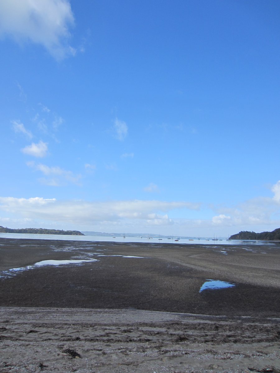
Tides and tidal currents: water levels and horizontal movement
Tides describe the regular rise and fall of water levels; tidal currents refer to the horizontal movement of water. Both are part of the same tidal cycle, but they are different phenomena. For coastal travel, harbors, and straits, the distinction matters in practice: a water-level reading does not automatically tell you which direction the water is flowing or how fast.
Tidal height and tidal range
The tide rises and falls over the course of the cycle. High tide is the local peak water level, and low tide is the lowest level. The difference in height between the two is called the tidal range. It describes a vertical change in the water’s surface. Tide times and heights are predicted for a specific location; they are not measurements of water speed. When assessing a storm surge and the overall water level, weather conditions must also be taken into account.
Local conditions matter: the shape of the coast, bays, and passages affect how the tidal wave and the water behave at a particular location. Times and heights for a nearby place therefore cannot simply be applied elsewhere. A high tide alone also does not indicate how strong the current is at that location. Charted depths are referenced to a specified datum, not directly to the water level at that moment.
Flood currents, ebb currents, and slack water
In many coastal areas, the current flowing inland as the water rises is called a flood current; the current flowing in the opposite direction as the water falls is called an ebb current. Between the two, the current may temporarily become very weak as it changes direction. This phase is called slack water. The term describes little horizontal movement, not a particular water level.
High or low tide and slack water do not necessarily occur at the same time. The relationship varies by location: in some places, weak currents occur near high or low tide, while elsewhere they occur between the water-level extremes. No general time offset can be inferred.
Read water levels and currents separately
The appropriate forecast depends on the question being asked. Tide forecasts give water levels and the times of high and low tide. Tidal current forecasts, by contrast, show the current’s direction and speed, as well as the times of maximum flow or slack water. NOAA issues the two types of forecast separately because their relationship depends on the location. NOAA explains the difference and how it varies by location.
When assessing a route through a bay, harbor, or strait, use the forecast for that exact location and time period. Tidal height can help determine the water level; for current direction, strength, or slack water, the relevant information is the current forecast. When interpreting speed measurements, it helps to understand the distinction between knots and nautical miles.
Photo: Markus Lenk
