
Destinations | Cruise ships | Ports for your cruise | Cruise lines | Cruise Tips | Cruise Photos | Cruise News
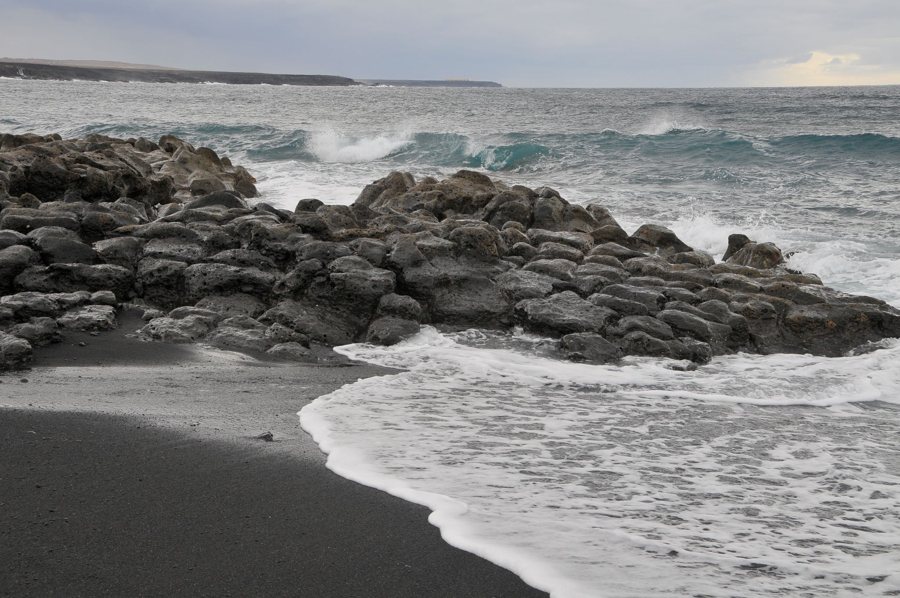
Wind Waves and Swell: Two Types of Waves
Wind waves and swell are two distinct components of the sea. Wind waves form where wind transfers energy to the water’s surface. Swell has already travelled away from the area where it formed and continues onward, even when the local wind is weak or blowing from a different direction. Both types of waves can reach a vessel at the same time; in that case, the wind on board alone does not explain how rough the sea is.
Wind waves: waves generated by local wind
Local wind waves build as wind blows across the water’s surface. Three factors are essential to their development: wind strength, how long it blows, and fetch. Fetch is the uninterrupted distance over water across which the wind blows without substantially changing direction. A strong wind blowing over a long distance and for an extended period can put more energy into waves than a brief gust over a limited area.
As waves grow, several characteristics change at once. Crests become higher, wavelength increases, and the time between two crests—the period—gets longer. As the sea becomes rougher, whitecaps first appear; eventually, waves can break. These measurements describe different things: wave height is the distance from trough to crest, while the period is the time between passing crests.
Swell: waves from another area
Waves that leave the area where the wind generated them are called swell. They can travel great distances. Along the way, they often organize into more regular wave trains, with longer periods than locally generated wind waves. As a result, swell can arrive in a place where there is currently little wind. A different local wind direction does not rule out swell from a distant storm area, either.
This distinction can be useful when observing conditions on board: a relatively smooth surface between higher waves spaced farther apart may be associated with swell. However, appearance alone cannot reliably determine where the waves came from or which weather area generated them. Wind waves and swell are wave fields, not fixed wave shapes that always look the same.
Reading wind and waves together
Measurement and forecast reports may list wind waves and swell separately. NOAA describes wind waves as locally generated or generated only recently by local wind; swell does not come from local wind and typically has a longer period. When both components are listed separately, it is possible to see whether waves from another area are contributing to the sea in addition to the current wind.
Compare wave-height and period figures only when they use the same definition and unit. A single overall sea-state value does not necessarily combine the same components as separate figures for swell and wind waves. The explanation of wave height and sea state describes these measurements. Significant wave height is also the average height of the highest third of waves, not the height of every individual wave; some waves may be higher. Navigating in different natural conditions also involves the vessel’s movements: rolling, pitching, and yawing. Wind, wind waves, and swell together therefore give a more complete picture than a single wind reading.
Photo: Alesia Belaya
